2013 Tulalip LiDAR Project
|
|
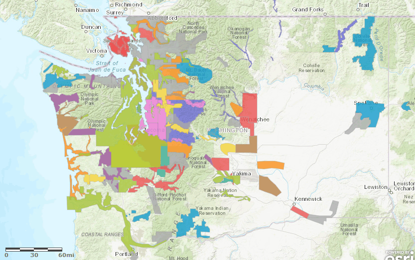
Description This project covers areas in eastern Snohomish and Skagit Counties. The data was acquired in April and July of 2013. See the project report below for more information. Projection: Washington State Plane North (FIPS 4601) Vertical Datum: NAVD88 Geoid03 Horizontal Datum: NAD83 (HARN) Units: US Survey Foot Reference Information Project report Bare Earth raster metadata Top surface raster metadata Quarter Quad Index (Shapefile) LAS Tile Index (Shapefile) Trajectory Files (Shapefile) Frequently Asked Questions |
| Raster Data 3ft raster resolution - 3.75' USGS quarter quads |
Files | Data Download Map Viewer | |
| Bare
Earth DEM - .e00 format |
![]() |
||
| Top Surface DEM - .e00 format | |||
| Bare Earth Hillshade TIFF |
|||
| Top Surface Hillshade TIFF |
|||
| Bare Earth File
Geodatabase Mosaic (5.5
GB) |
|||
| Top Surface File Geodatabase Mosaic (5.5 GB) | |||
| Clip of Oso and Stillaguamish River - File Geodatabase ( 410 MB) | |||
| Point Data .75 USGS quarter quads tiles* |
Files |
||
| Bare Earth Point ASCII files | |||
| LAS
files-
laszip compressed |
|||