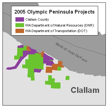
| Description: This project covers the vicinity of Sekiu and parts of the following water bodies: The all-returns point data has different field attributes then all the other 2005 projects. See the field header information file for the fields available. The DEM grid cell size is six feet. The elevation units are in feet. The data is in Washington State Plane North Coordinate System FIPS 4601, in the NAD83(HARN)/NAVD88 datum. Back to Data by Projects |
 |
Reference Information:
This information is provided to be used in conjuction with the LiDAR datasets.

