FEMA
Dataset 2011
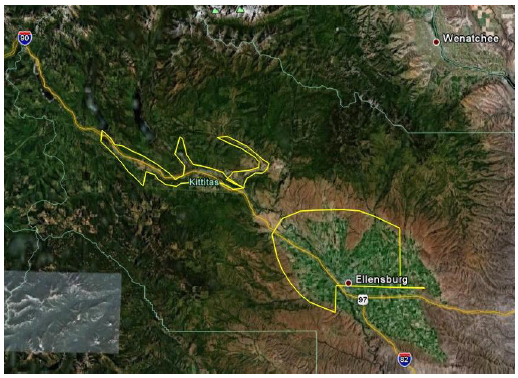
Geographic Area: Kittitas
County
 |
This
dataset was acquired by FEMA. See the metadata and report for the
technical specifications and qualitty of the data. The bare earth DEMs, contours and Bare Earth LAS
files were
created in Washignton State Plane South NAD83, NAVD88. All units
in feet. The DEMs
have a resolution of 5 feet
cells. The All-returns
LAS point files are in UTM Zone 10; horizontal and vertical datum:
NAD83/NAVD88. All units in meters. There are no Full Feature DEMs. Reference Information: Project Report
-
pdf Bare
Earth DEM metadata - xml file Index for the
LAS tiles - shapefiles Download Data: Bare
Earth
DEM - ESRI Grids Contours - shapefiles
|