USGS / Puget Sound Lidar Consortium
Parent |
Home
| About
Lidar | About
the PSLC | Data
| Uses
of Lidar data | Links
| Contact
us
USGS North Puget Sound LiDAR
Puget Sound? Salish Sea? Why not call it Whatcom and Skagit
Counties?
LAS files, tiles, and metadata
LiDAR tiles have been mosaicked into large file geodatabases for
convenient
use. This format can now be accessed only through version 9.3 or newer
ESRI software.
Other vendors may have interfaces
in their software for this format. File geodatabases are more compact
than
SDE databases and--when the user load is low--much faster.
(File geodatebases supplant "personal geodatabases".)
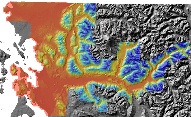 This is the 2006 USGS North Puget Sound survey.
For now, the filegeodatabase contains only the bare-earth DEM. We
may soon
add the top-surface DEM and shaded-relief images.
Downloading 6 GB is complicated.
- Download the usgs2006nps.gdb database
directory with its smaller files
and unzip it into the place where you want it.
- Then download
a00000029.gdbtable into the usgs2006nps.gdb directory which you
created
Warning: Internet Explorer has failed on files larger than 2
GB.
Netscape works. And very old FAT (new windows filesystems are NTFS)
filesystems
cannot handle large files.
- Select the .gdb directory in ArcMap:AddData or in ArcCatalog. It
should contain one grid. Have fun with it.
- Delete partofgdb.zip (unless you had unzipped it on the fly)