Puget Sound Lidar Consortium
Parent |
Home
| About
Lidar | About
the PSLC | Data
| Uses
of Lidar data | Links
| Contact
us
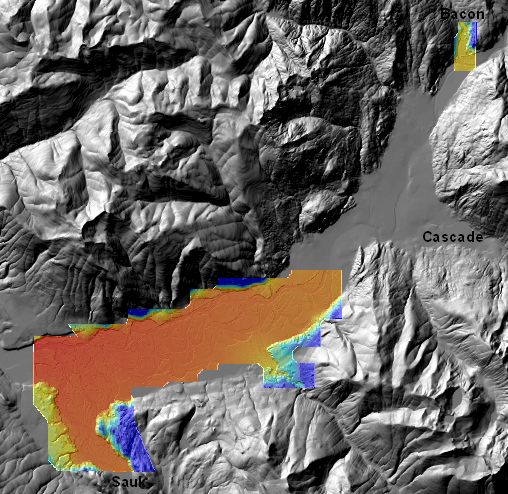
Skagit River/Bacon Creek 2005 PSLC LiDAR survey
This filegeodatabase was built
from source materials at
PSLC matching
raw ASCII files
This 113,950,065-byte file unzips into a filegeodatabase directory that
can be read by ESRI and other software.
It contains bare-earth and first-return DEMs with corresponding shaded-relief images.
Pyramid files for shaded relief were created with bilinear resampling.
Note that a big chunk of the river was missed in processing the
top-surface DEM.
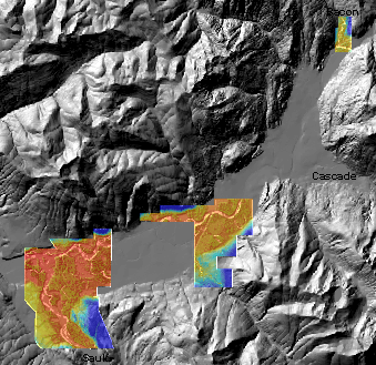
The coordinate system is Washington State North Nas83 (FIPS 4601).
Cellsize is six feet. Vertical units are feet in the NAVD88 datum.