

|
|
| UW Home > ESS Home > RS&PSL Home | |
|
W. M. Keck Remote Sensing and
Planetary Sciences Lab
The Remote Sensing & Planetary Sciences lab studies the theory, mapping, and application of remote sensing to:
Primary Links: |
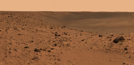 Spirit Pancam image released 2/08/2005 from http://marsrovers.jpl.nasa.gov/ used for the Surface Roughness study 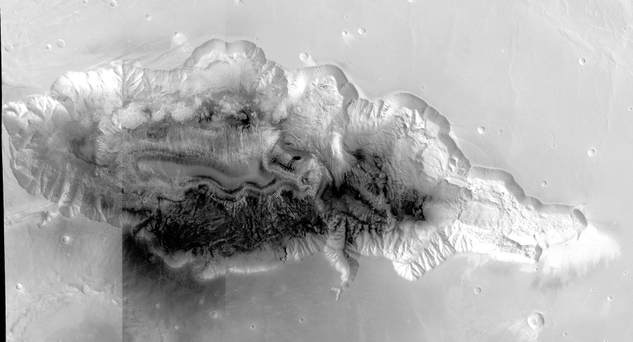 Mosaic of Hebes Chasma, Mars using HRSC orbits h2149 (west), h1235 (center), and h0360 (east) |