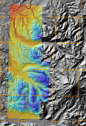
NASA in collaboration with
the USGS contracted TerraPoint, LLC to survey several high
elevations areas that are consider seismic zones and therefore
had technical specification design to address the unique needs
in this areas. The areas covered are West Rainier
seismic zone, Darrington-Devils Mountain seismic zone and the
Mount St. Helens volcano and seismic zone in Washington
state. Additionally they also collected data for the
northern San Andreas fault in California. The resulting
products from these surveys are now available from NASA.
This 700MB filegeodatabase was built
from the following source materials at
NASA:
| file name | last modified | size |
|---|---|---|
| Anderson_Sawtooth_Ridge.tar.gz | 10-Dec-2004 | 21M |
| Ashford_Mt_Wow_Mt_Rainier_West.tar.gz | 10-Dec-2004 | 448M |
| LeDout_Creek_Golden_Lakes_Mowich_Lake.tar.gz | 10-Dec-2004 | 432M |
| Wilkeson_Old_Baldy_Mountain.tar.gz | 10-Dec-2004 | 375M |
| PreMissionReport_Mt_Rainier.pdf | 10-Dec-2004 | 3.0M |
| Rainier_San_Andreas_lidar_SOW.pdf | 01-Mar-2006 | 4.1M |
Project Report: Rainier_San_Andreas_lidar_SOW.pdf