WA Department of Transportation Dataset 2007
Geographic Area: Greenwater River
This dataset was acquired by WA DOT. It was flown to similar
specifications as the PSLC data.
The data is in Washington State Plane North (FIPS 4601) coordinate
system in the NAD83/NAVD88 datum (Geoid 03) with
units in survey feet. Use the coverage and
quarter quad index shapefile to determine the files
you need. The DEMs have a resolution of 3-ft cells.
Reference Information:
Project Report
Quad index for the grid (e00) data
Tile index for the ASCII data
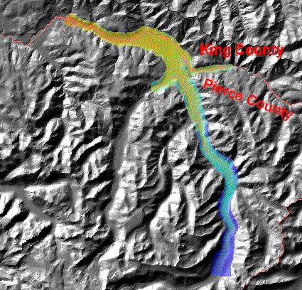
Study Area
Download Data:
Bare Earth DEM (.e00
Full Feature DEM (.e00)
Bare earth points ASCII files
All-returns points ASCII files
zipped ArcMap 9.3 filegeodatabase of bare earth, top surface, and shaded relief. 828,104,246 bytes
 lidar.pgw
back to PSLC Data page
Full Feature DEM (.e00)
Bare earth points ASCII files
All-returns points ASCII files
zipped ArcMap 9.3 filegeodatabase of bare earth, top surface, and shaded relief. 828,104,246 bytes
lidar.pgwback to PSLC Data page