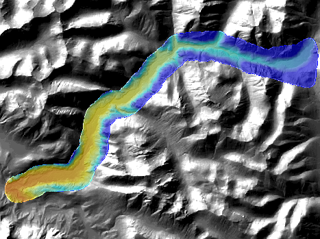
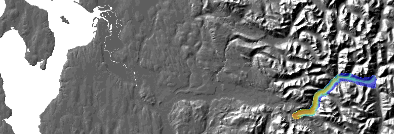
Snohomish
County Dataset 2007
Geographic coverage : North Fork Skykomish River / Index-Galena Rd
This dataset was acquired by
Snohomish County. It was flown to similar specifications as the
PSLC data. All data is in Washington State Plane North, NAD83,
feet. Use the coverage and quarter quad index shapefile to
determine the files you need This data has a resolution of 2-ft
cells.
 lidar2.pgw
 lidar.pgw