 snolidar.pgw
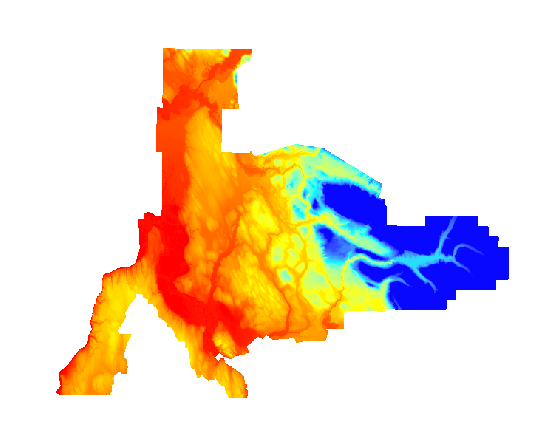
This dataset was acquired by Snohomish County. It was flown to similar specifications as the PSLC data. All data is in Washington State Plane North, NAD83, feet. Use the coverage and quarter quad index shapefile to determine the files you need