| Bill Armstrong | Salmon Resources Scientist | barmstro@quinault.org | 360.276.8215 Ext 240 |
| Tony Hartrich | GIS Director | thartrich@quinault.org | 360.276.8215 Ext 479 |
|
|
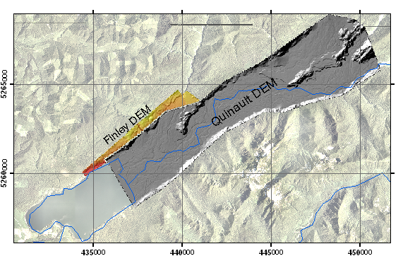
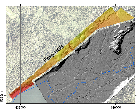
bare earth ASCII files (zipped)
ESRI_Grids (zipped)
Raw_1st-Return ASCII files (zipped)
Raw_Multi-Return ASCII files (zipped)
Reference shapefiles (zipped)
Technical
Assistance
If you have difficulty loading the data files into your
software,
cannot easily transfer large files via the Internet, or would like
advice on the uses and limitations of these data, please reference our
frequently asked questions.
If
you can't find what you need here, contact us.
This page maintained by
PSLC webmaster