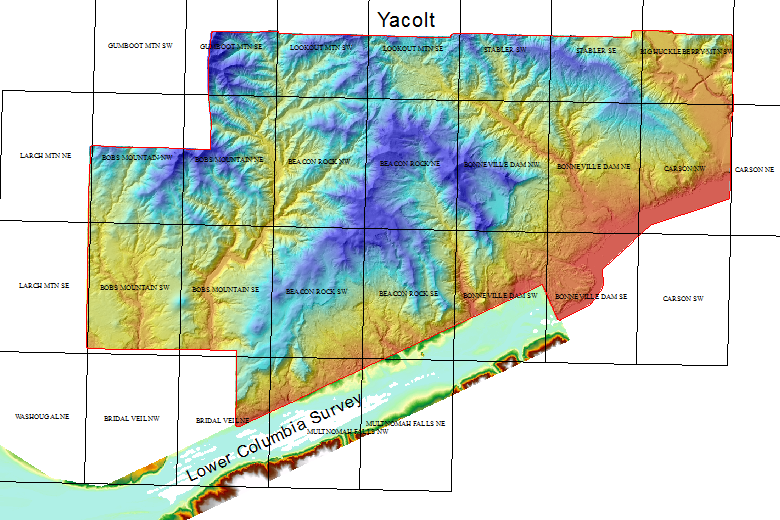
Yacolt
State Forest Dataset 2005
This dataset was acquired by
Washington State Department of Natural Resouces. All data is in Washington State
Plane South, NAD83 HARN,
US-survey feet. The vertical datum is NAVD88 and the units are
also US-survey feet. Use the coverage and quarter quad index
shapefile to
determine the files you need
Reference
Information (There is limited
documentation for this dataset.)
The river survey is the
2005 Lower Columbia River Projects
Download Data:
back to PSLC Data page