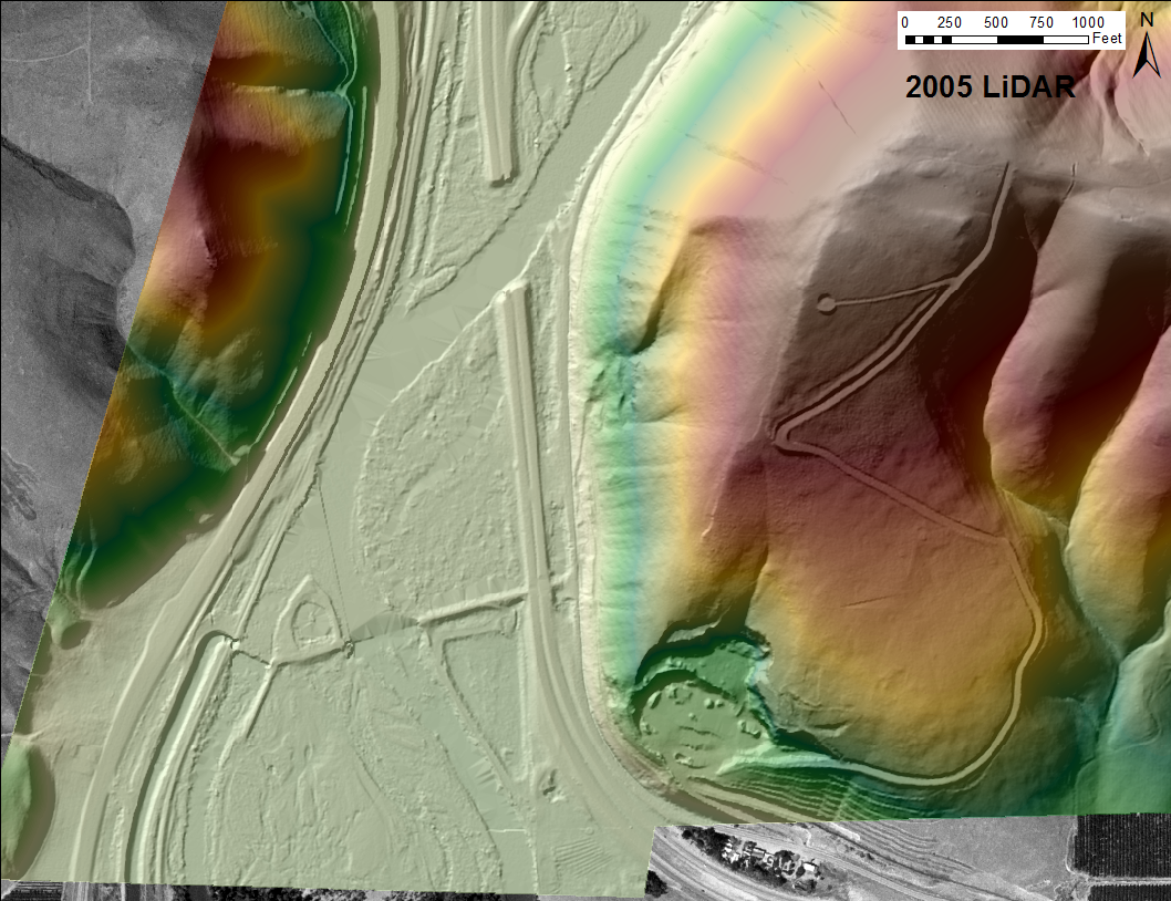
Our data includes a 2005 PSLC survey rasterized to six-foot resolution
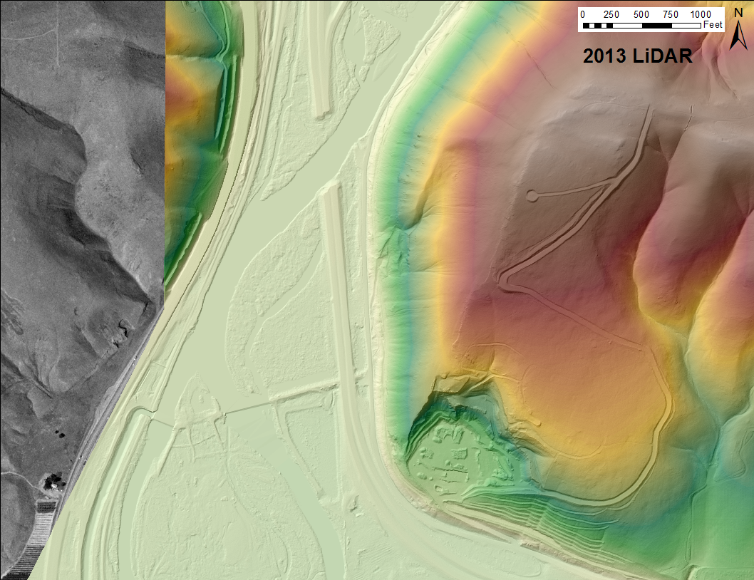
and a 2013 survey for Yakima County rasterized to three-foot resolution.
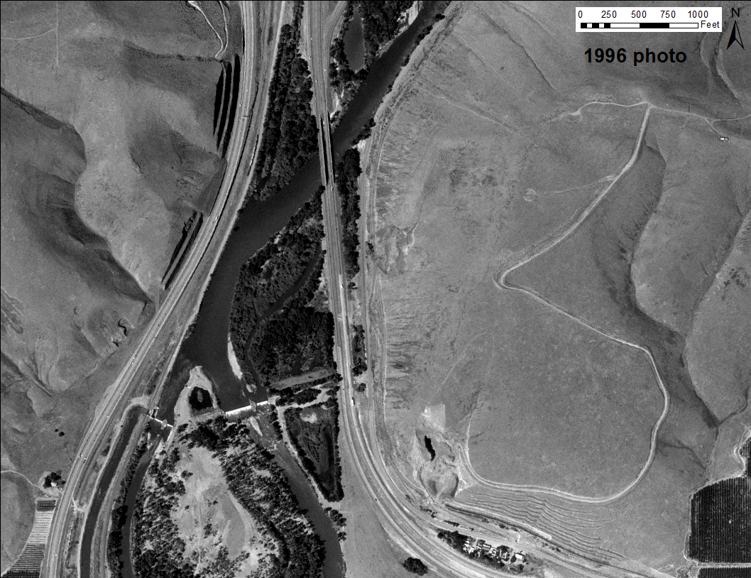
and here is a 1996 photo
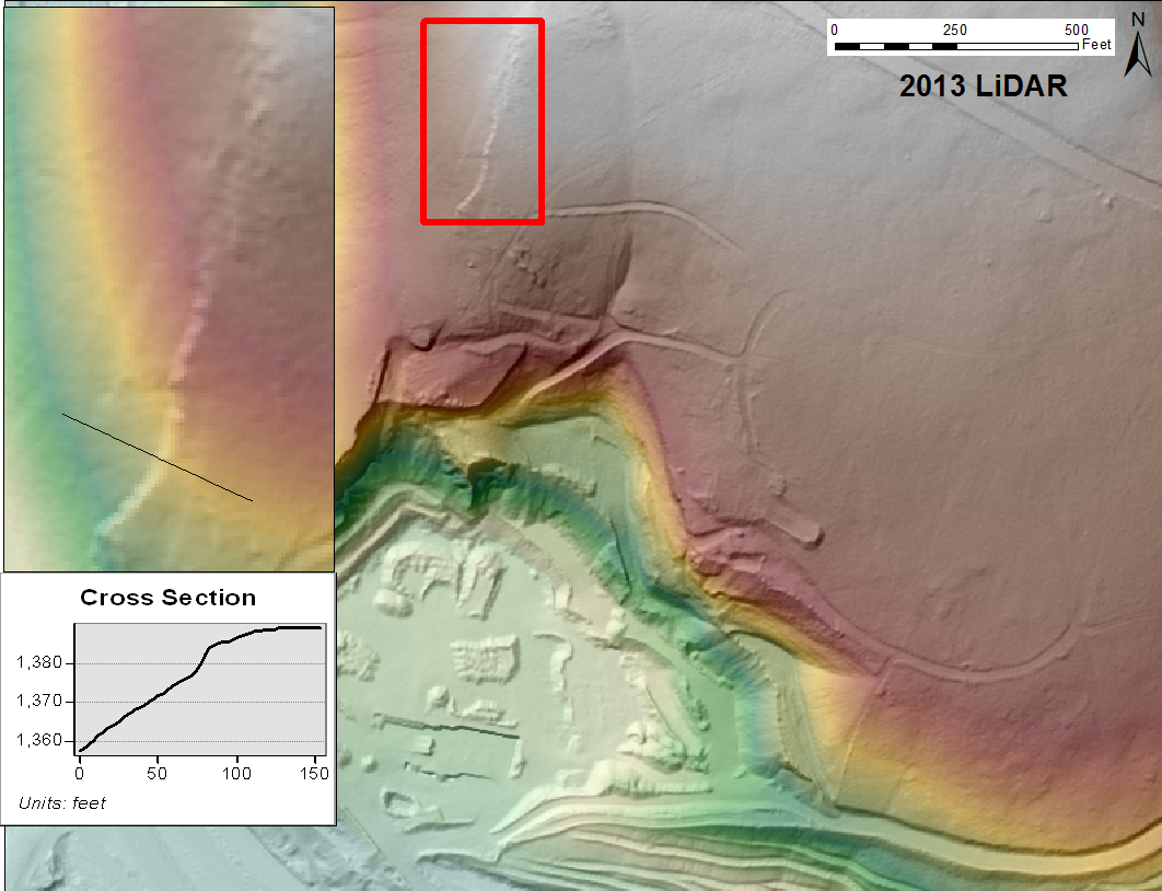
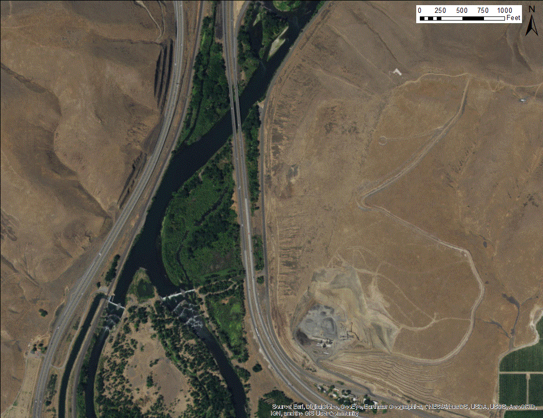
Here is the area above the around the quarry, with a blowup image of the area in the red rectangle. The profile shows the scarp to be about 9 feet. Does this indicate mass movement, or is it just a step in the multiple basalt flows, as we see to the south of the quarry?
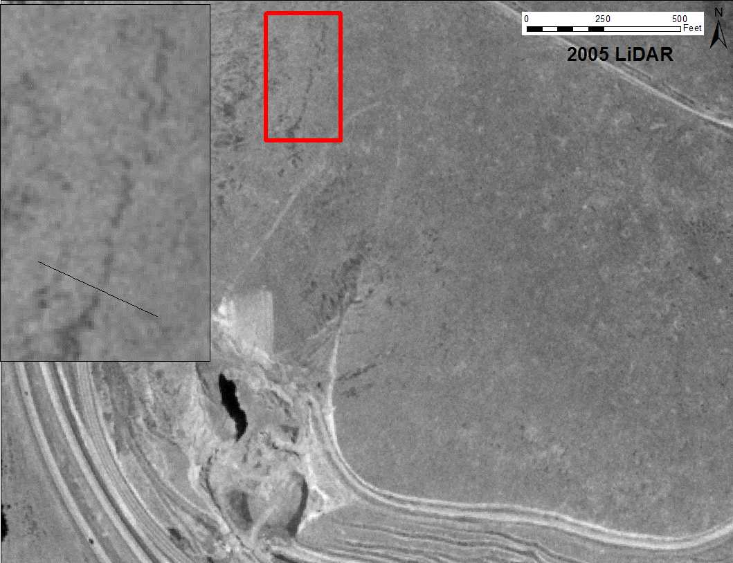
The scarp seems to be there in 1996 as well.