Tenix
LADS Bathymetric Infra-Red/Green LiDAR - 2001
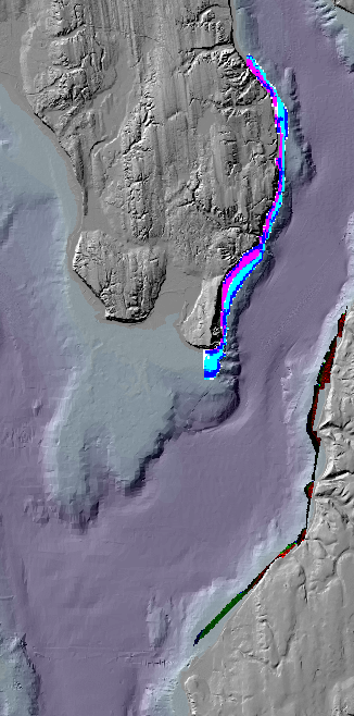
Geographic Area: Possession Sound off the South Shore of Whidbey Island
This
was a pilot project
done for the Puget Sound LiDAR Consortium by Tenix LADS Corporation in
2001. The purpose of this work was to collect high-resolution
lidar data
from selected areas in
Reference Information
Download Data:
Data
files
Image files
Points in a filegeodatabase created by ArcGIS10.3
This includes points with flag values and two sets of points with Z values. Let us know if you figure them out.
Image files
Points in a filegeodatabase created by ArcGIS10.3
This includes points with flag values and two sets of points with Z values. Let us know if you figure them out.
 bathylidar.pgw