 lidar.pgw
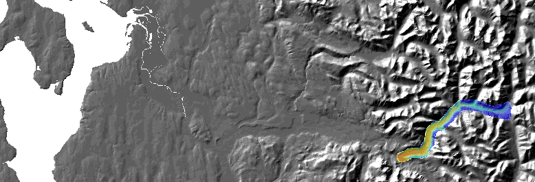
This dataset was acquired by Snohomish County. It was flown to similar specifications as the PSLC data. All data is in Washington State Plane North, NAD83, feet. Coverage includes portions of the North Fork of the Skykomish which are now running over former parts of the Index-Galena Road. Cell size is two feet!
 lidar2.pgw