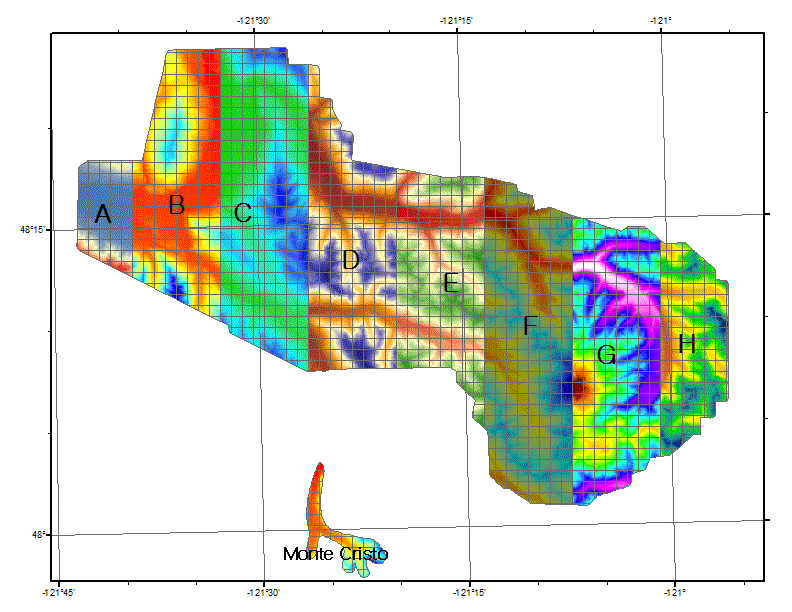
The small bare-earth DEM tiles were mosaicked into strips labeled A-H,
plus montecristo.
These geotiff files are internally compressed, and they bear geotiff tags which will
make them fall into place in GIS maps. The map projection is NAD_1983_HARN_UTM_Zone_10N.
These are 32-bit floating-point files. GIS software--and some software such as matlab--can
read them, but most photo viewers will choke.
Tile A
Tile B
Tile C
Tile D
Tile E
Tile F
Tile G
Tile H
Monte Cristo area