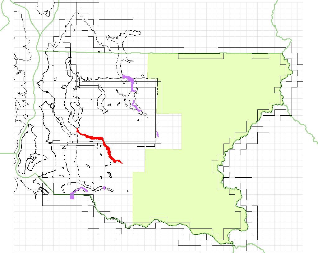
lavender:Watershed Sciences 2009
red:Watershed Sciences 2010

red:3di West Snoqualmie; White; Green 2004

beige:USGS

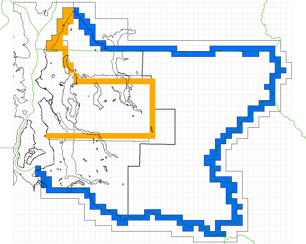
blue:King County and USGS joined

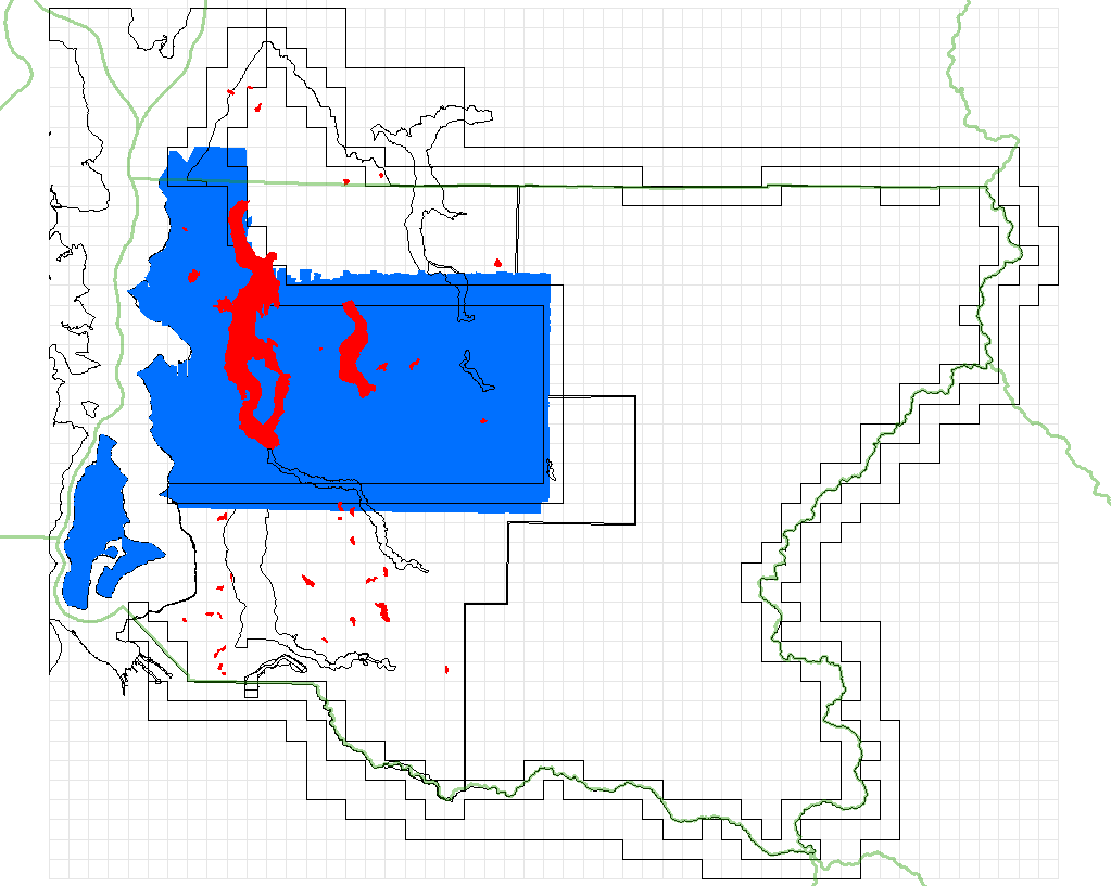
red:WA Dept of Ecology
I have no previous experience with terrains, and I would appreciate any advice or data and GIS issues. Illustrations of intermediate results and of problems will soon be added to this page. Send me your comments.
First big problem: Many records in the dgm_ascii directory have truncated coordinate values. For example, av05_dgmkc.zip has 4903 coordinates with bad X values. There are 423,924 bad points in 43 files. Does that matter with 922,584,303 good kc points?
I would like to use water body polygons, although they do not always define lakes as well as the lidar points do. I could build a histogram of points for each lake polygon, analyze the histogram to determine the lake level, and decide whcih Zs should be alterd and which should be respected. River polygons are even more interesting. What have I got myself into?
I am reluctant to include any of the points spaced at 30 feet, though contours built from the 10-meter DEM might help with edges and bad patches. I want to use bathymetric lidar (and maybe other bathymetry if Miles "Multibeam" Logsdon can help me handle the most current data.) I don't know if the shoreline would also be useful. I am not sure if I want to include the PSLC points. My uncertainties involve both the datasets and the fine points of building terrains.
Large areas of King County are straightforward, with only one data source and with no clipping issues. If I put off looking at water bodies, I could produce new tiles with corners that are a multiple of six feet, and without data gaps. Other areas are more of a problem.
King County lists 11 overlapping data sources:
 |
| green:King County Uplands (2003) lavender:Watershed Sciences 2009 red:Watershed Sciences 2010 |
 |
| blue:NOAA red:3di West Snoqualmie; White; Green 2004 |
 |
| green:King County Lowlands 2002 beige:USGS |
 |
| orange:King County and PSLC joined blue:King County and USGS joined |
 |
| blue:Puget Sound LiDAR Consortium red:WA Dept of Ecology |