 | USGS June 2002 orthophoto, courtesy of
WAGDA. This is close to the LiDAR aquisition date. |
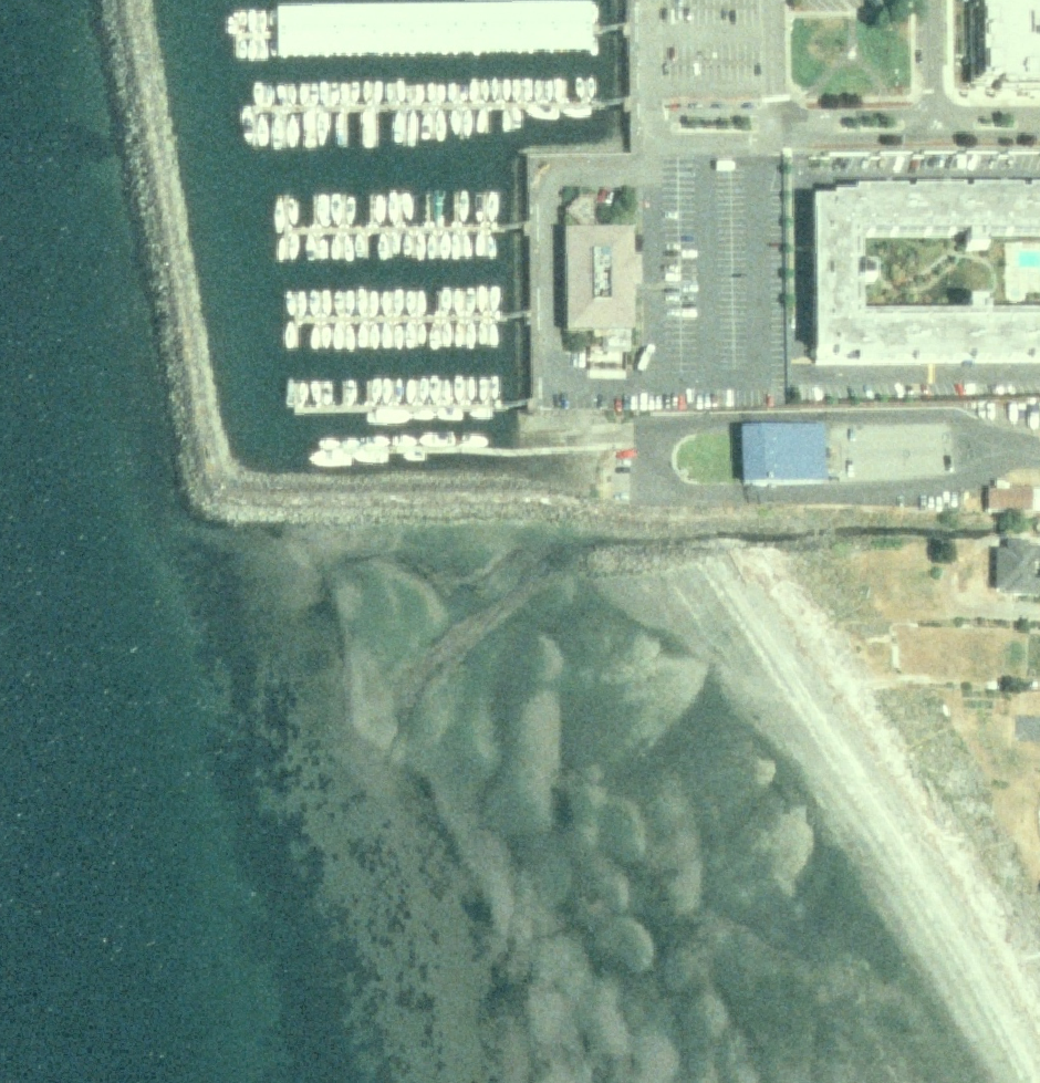 | 2006 NAIP photo was acquired at lower tide. |
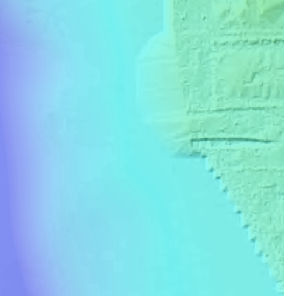 | This is the King County DEM laid over shaded relief (t22r04_dgm006 on t22r04_ghs006.sid). |
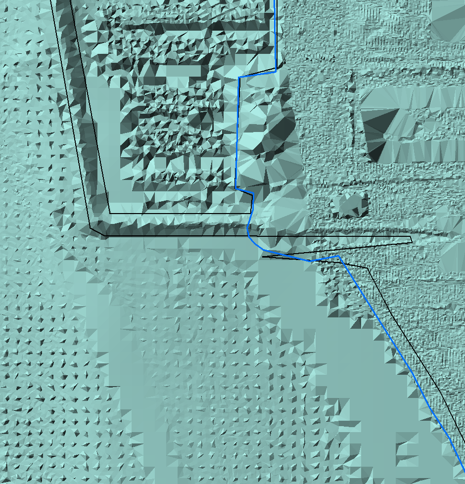
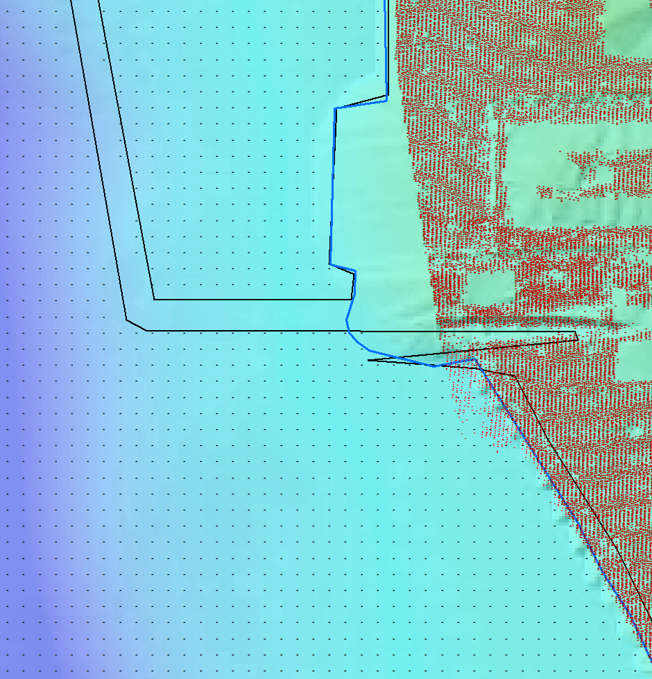 | This shows the two point sources used by King County to build this tile:
King County LiDAR points and NOAA data gridded at 30 feet.
Also show is the King County water body polygon shapefile (balck line) and the USGS shoreline from
USGS 7.5' quad maps, as provided by the department of Ecology. |
 Also shown in yellow are the
PSNERP/JALBTCX bluegreen water-penetrating LiDAR points.
(swath 1457) Also shown in yellow are the
PSNERP/JALBTCX bluegreen water-penetrating LiDAR points.
(swath 1457) |
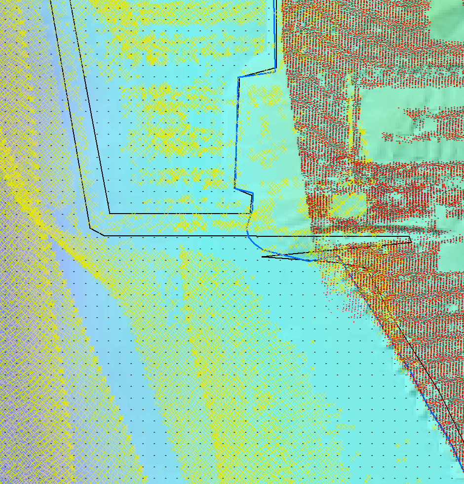
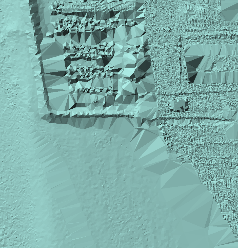
 This is a terrain (an ESRI data structure somewhat more than a TIN)
built from all the points shown above. The bathymetric LiDAR battles with the 30-foot bathymetry grid,
and the result isn't pretty. And the big gaps in ground points are nasty. This is a terrain (an ESRI data structure somewhat more than a TIN)
built from all the points shown above. The bathymetric LiDAR battles with the 30-foot bathymetry grid,
and the result isn't pretty. And the big gaps in ground points are nasty.
|
 and this is a terrain built from the
bathymetric and terrestrial points, without the 30-foot grid. and this is a terrain built from the
bathymetric and terrestrial points, without the 30-foot grid. |