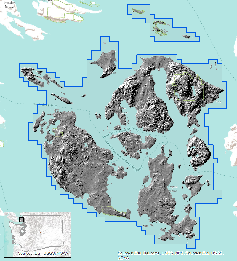
San Juan County Project 2013
|
This
project was acquired by San Juan County GIS and
submitted for distribution to the PSLC. The data
was collected at a nominal post spacing of 1 meter. The
data was acquired over July 23rd, 25th, 29th, 30th,
August 3rd and 4th, 2013. Projection: Washington State Plane North Horizontal Datum: NAD83 Vertical Datum: NAVD88 Units: Feet Reference Information: Raster
Metadata Index shapefiles -
shapefile Download
Data: 10-ft Bare Earth
DEM - Esri grid format All Returns LAS files - laz
compressed format
|