Puget Sound Lidar Consortium
Parent |
Home
| About
Lidar | About
the PSLC | Data
| Uses
of Lidar data | Links
| Contact
us
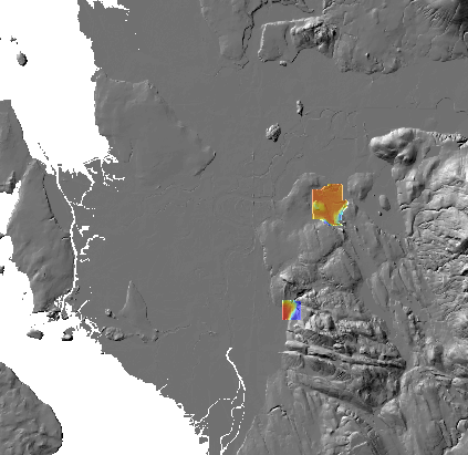
Skagit River Envirnmental Bank (bits near delta) 2005 PSLC LiDAR survey
This filegeodatabase was built
from source materials at
PSLC matching
raw ASCII files
This 14,510,515-byte file unzips into a filegeodatabase directory that
can be read by ESRI and other software.
It contains bare-earth and first-return DEMs with corresponding shaded-relief images.
Pyramid files for shaded relief were created with bilinear resampling.
The coordinate system is Washington State North Nas83 (FIPS 4601).
Cellsize is six feet. Vertical units are feet in the NAVD88 datum.
i