|
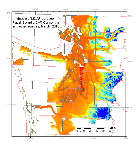
Download the 2010 supermosaic
6-foot version
Warning, we were just informed that area of the 2005-6 Snohomish survey somehow got overwritten
with resampled 10-meter garbage in the 6-foot supermosaic. We are rebuilding from scratch. Sorry. |
|
Download the 2010 supermosaic 30-foot version
|
Documentation |
|