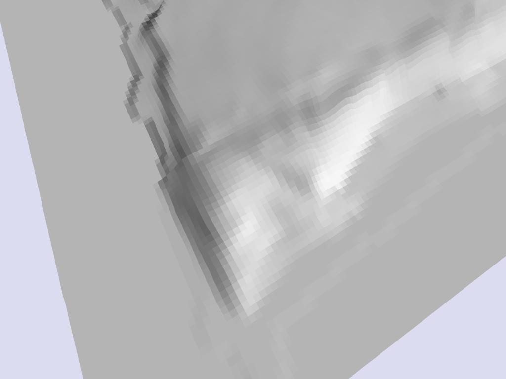
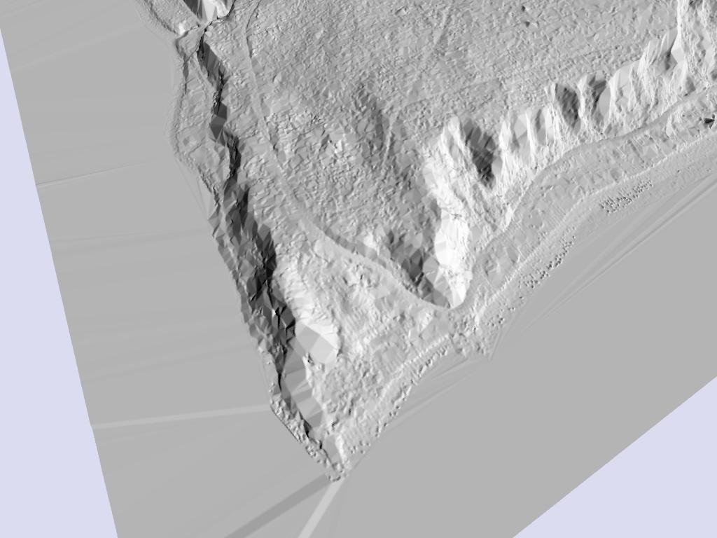
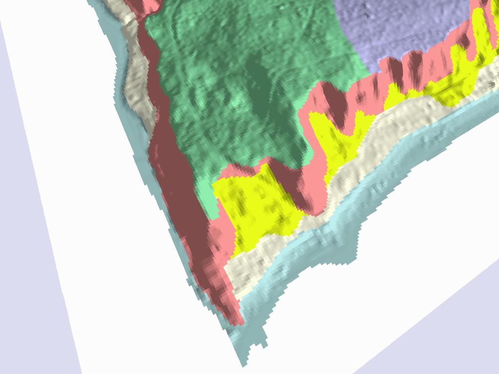
Example 1. South end Rockaway Beach/NE corner Blakely Harbor, SE Bainbridge Island, Washington. Houses are built on fossil beach uplifted about 7 meters during large earthquake on Seattle fault about 1,100 years ago.
Oblique aerial view, courtesy of Washington Dept. of Ecology
http://www.ecy.wa.gov/apps/shorephotos/
Perspective shaded-relief view of 10m DEM, derived from 1:24,000-scale contours
Perspective view of LIDAR DEM
Interpreted LIDAR DEM. Yellow is landslide, pink is scarp, green and violet are glacially-scoured surface
Return to PSLC--Lidar Examples
This page maintained by PSLC
webmaster
---